RUIDOSO TRAILS: Where To Hike, Bike, and Horseback Ride in Ruidoso
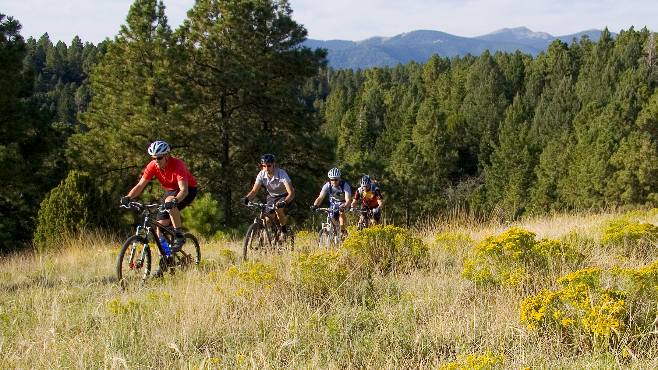
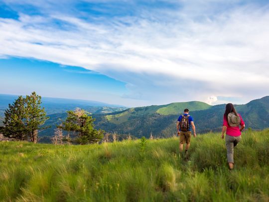
Climb Sierra Blanca, hike through alpine meadows, alongside the Rio Ruidoso, explore a forest? You decide! Thanks to over a million acres of National Forest and wilderness areas, virtually every corner of Ruidoso is waiting to be discovered. Hiking, mountain biking, and horseback riding trails are plentiful.
Our Parks and Recreation Department makes the most of an incomparable natural setting, with a wide variety of parks and places for you to enjoy throughout the village. Download a comprehensive trail map of Ruidoso area trails, including White Mountain Wilderness Area Trails and many other popular trail systems. Or, browse our interactive web application embedded below and also available here.
This trail list for Smokey Bear Ranger District shows trail difficulty and what you can do on each trail (i.e. hike, mountain bike, dirt bike, horseback ride, etc.) Bookmark for later.
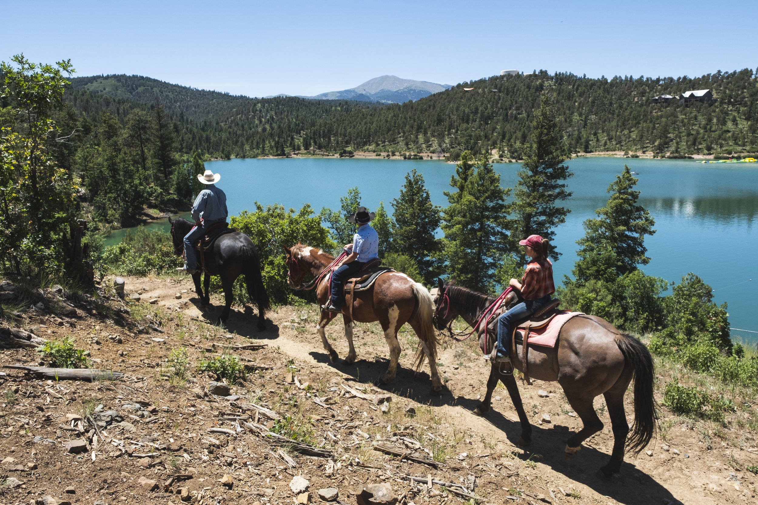
GRINDSTONE LAKE
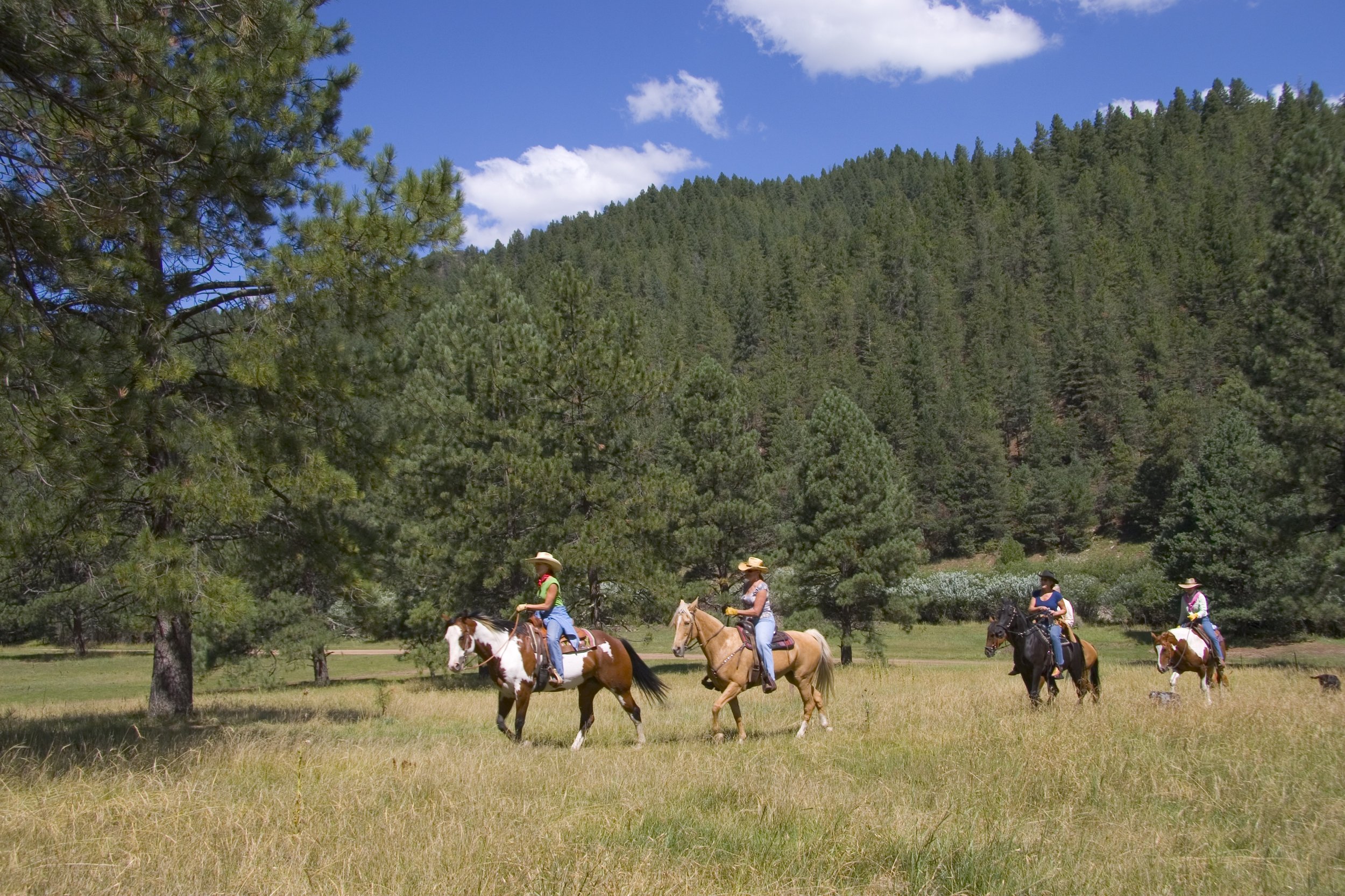
Ruidoso's Grindstone Lake Trail System was completed in 2014. This 18-mile multi-use trail, designed by the International Mountain Biking Association, is located near mid-town Ruidoso at Grindstone Lake. Equestrians now have a trailer-only Public parking and public equestrian trailhead for visitors to bring their own horses.
Alto Lake
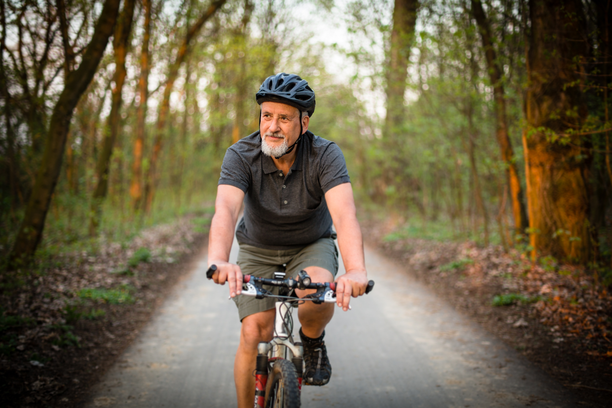
A scenic. crushed rock trail circles the Alto Lake (approximately 0.5 miles) with picnic tables and benches situated along the shoreline. Non-motorized bikes and dogs on leashes are permitted. Below the lake, Eagle Creek trail offers an additional 1.5 miles of hiking. Parking and restrooms are available.
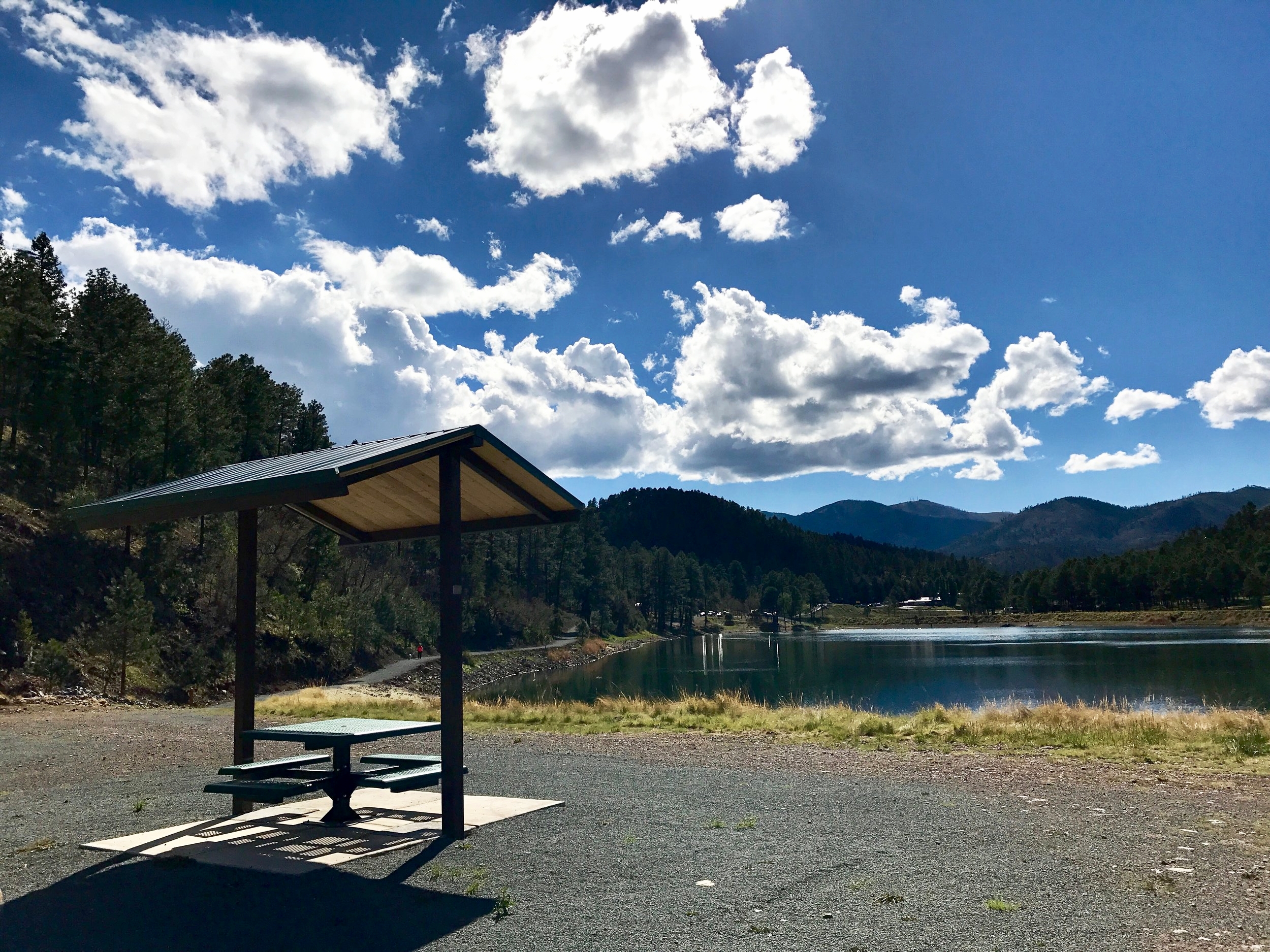
The addition of picnic pavilions are just part of ongoing trail improvements at Alto Lake in Ruidoso, NM.
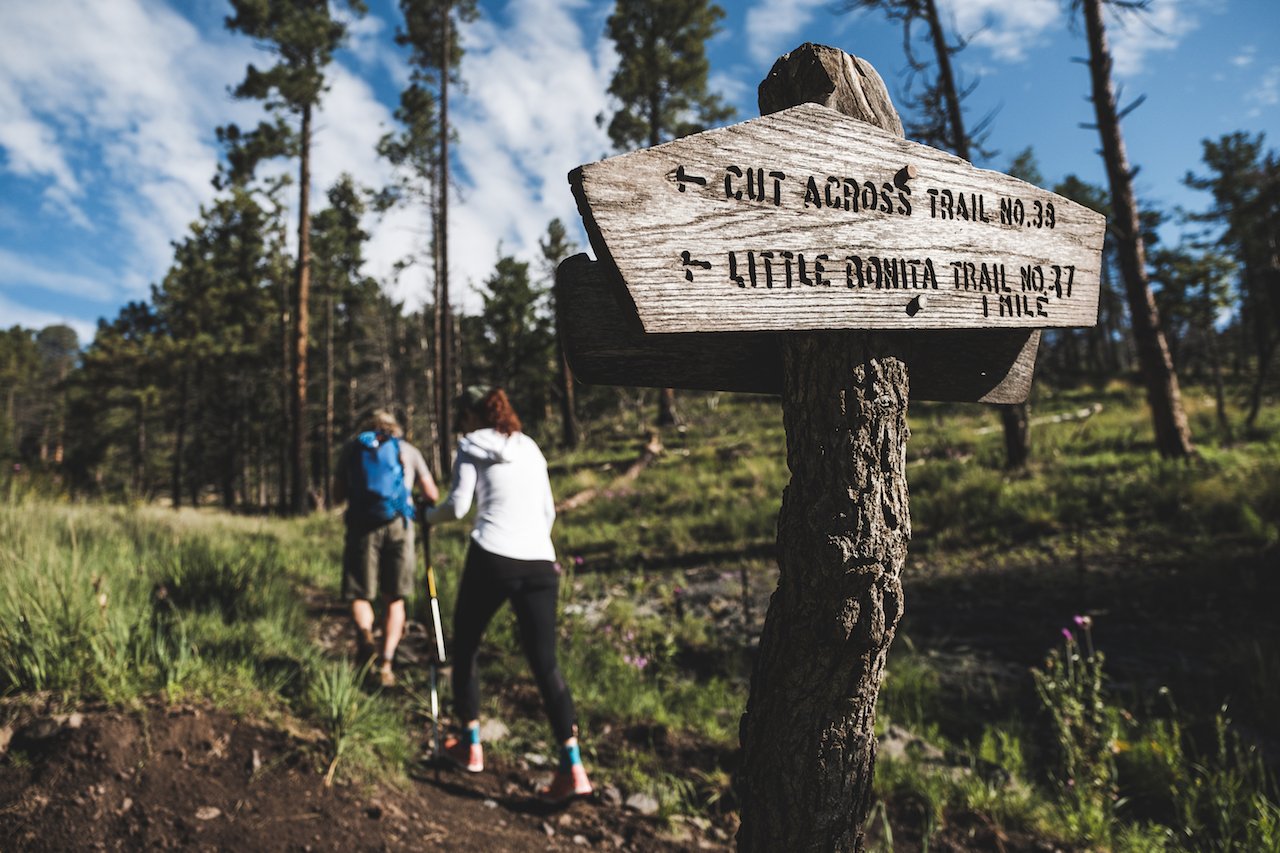
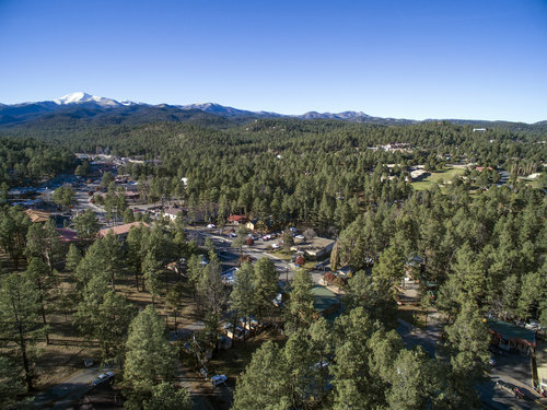
LINCOLN NATIONAL FOREST
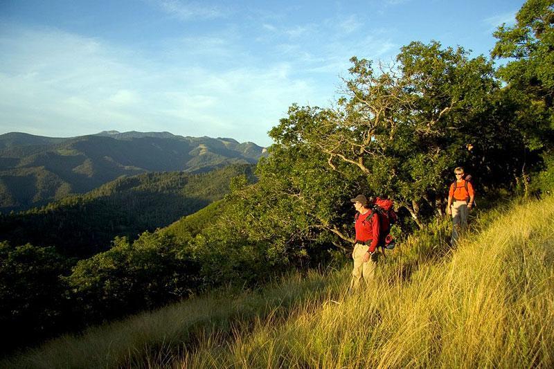
There are over 200 miles of multi-use trails in the Smokey Bear Ranger District of the Lincoln National Forest. For more detailed information on the trails to be found in the area visit their website. Lincoln National Forest consists of three ranger districts—Sacramento, Smokey Bear, and Guadalupe—and three major mountain ranges—Sacramento, Guadalupe, and Capitan—covering 1,103,441 acres in parts of four counties in southeastern New Mexico. Elevations range from 4,000 to 11,500 feet and pass through five different life zones from the Chihuahuan desert to the sub-alpine forest. Vegetation types are very diverse across the Forest and range from rare cacti in the lower elevations to Englemann spruce in the higher.
Trail tips and visitor information can be found at AllTrials.com.
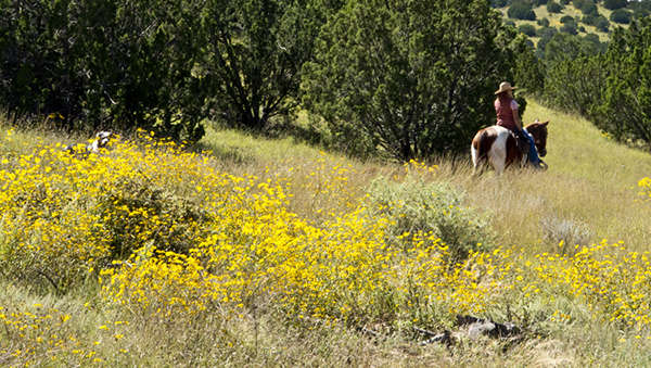
FORT STANTON RECREATION AREA
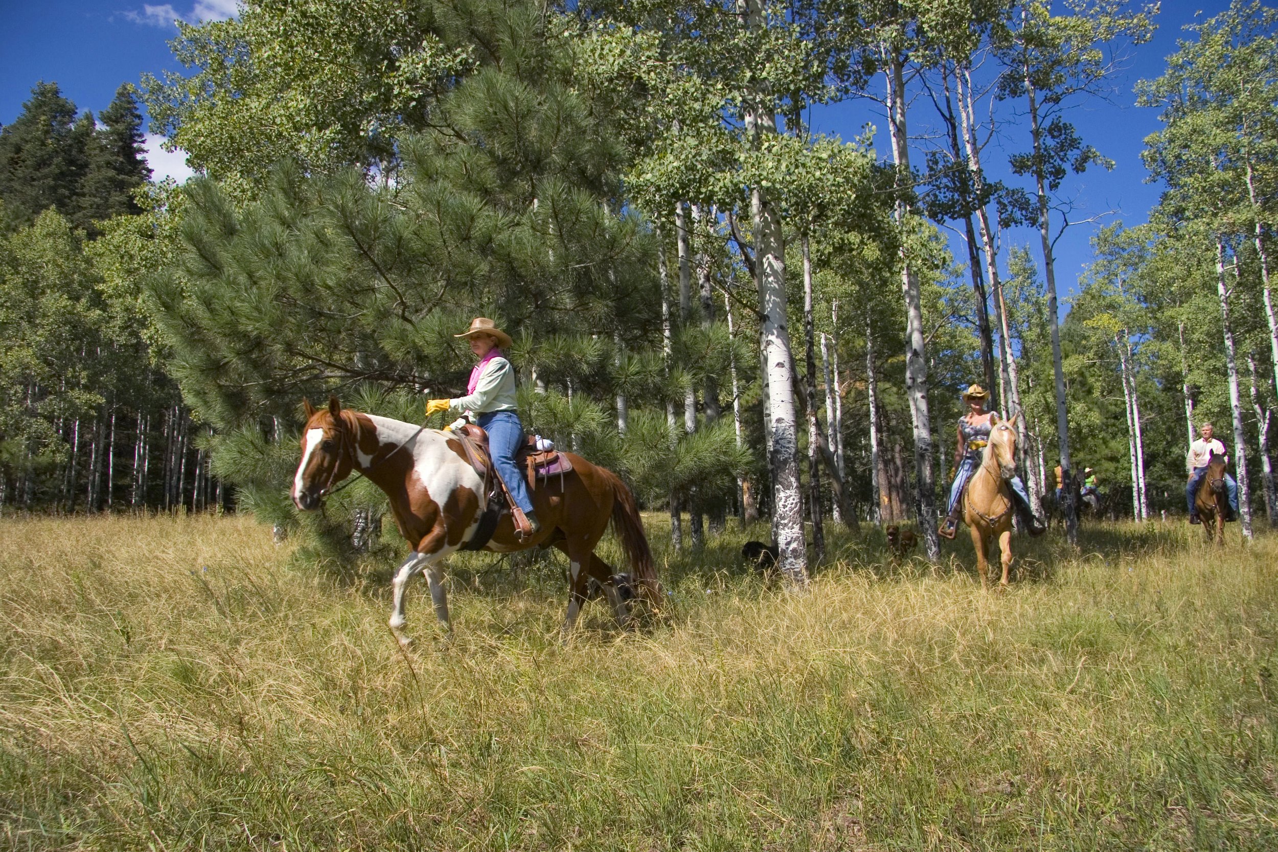
Fort Stanton Recreation Area (managed by the BLM) has over 90 miles of horseback, mountain biking, and hiking trails that wind through open meadows and canyons. The trails offer great views of the surrounding Lincoln National Forest, and the Sacramento and Captain Mountains. The majority of the trails start at the Horse Trails Parking Lot on NM 220 where you will find hitching rails, water for your animals, campsites and a bathroom. In addition, 20 miles of roads are open for motorized use.
Mescalero Apache Inn of the Mountain Gods
Visitors can take in the beautiful scenery at Inn of the Mountain Gods with bike rentals and guided horseback riding at the Inn of the Mountain Gods Resort and Casino in nearby Mescalero. The Inn of the Mountain Gods also offers big game hunting, fishing, boating, championship golf, and other outdoor activities.

The Links Trail
Beautiful Sierra Blanca dominates the views on this scenic walk, run, ride paved path that circles the Links at Sierra Blanca Golf Course in the heart of Ruidoso. The Links Trail is 3 mile loop that provides outdoor exercise that dogs, kids and adults will enjoy. No horseback riding is permitted on the Links Trail.

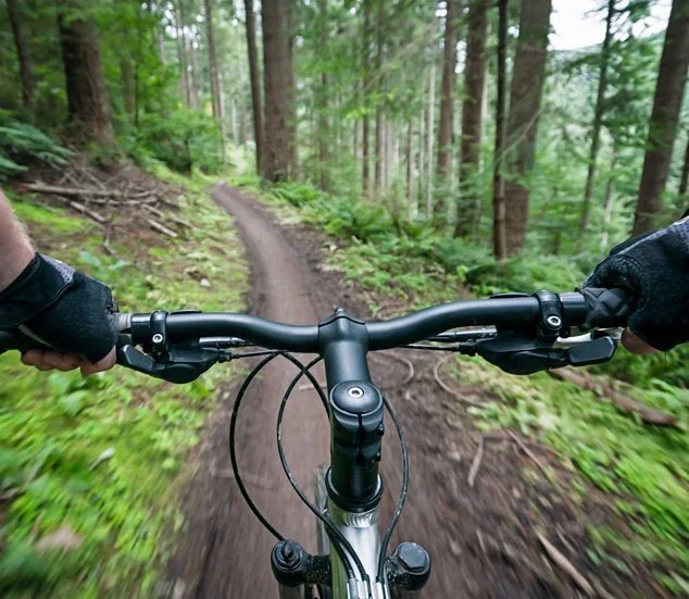
Cedar Creek
Well over 30 miles of multi-use trails for all skill levels, the Cedar Creek Spaghetti Bowl multi-use trail is a popular choice among hikers, mountain bikers, and equestrians that's close to town yet perfect for kicking in the endorphins and elevating the heart rate as you glide among the pines and aspens. Ride altitude is about 6540 feet. The Cedar Creek Recreation Area also offers a picnic area and campground.

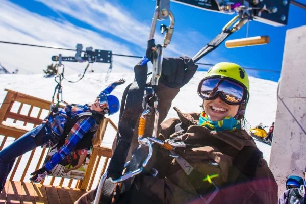
Ski Apache
Looking for a good workout, or just a leisurely stroll? Ski Apache has trails for the adventurer and for the beginning hiker or walker. With over five miles of hiking trails to offer, Ski Apache has all your hiking needs, and if you get too tired on the hike up, do not worry, if you hike up the ride down is on us, free of charge. Be sure to check the local weather forecast before hiking in the mountains as mountain storms may produce flash floods and lighting and always carry water and sunscreen. Learn more>>

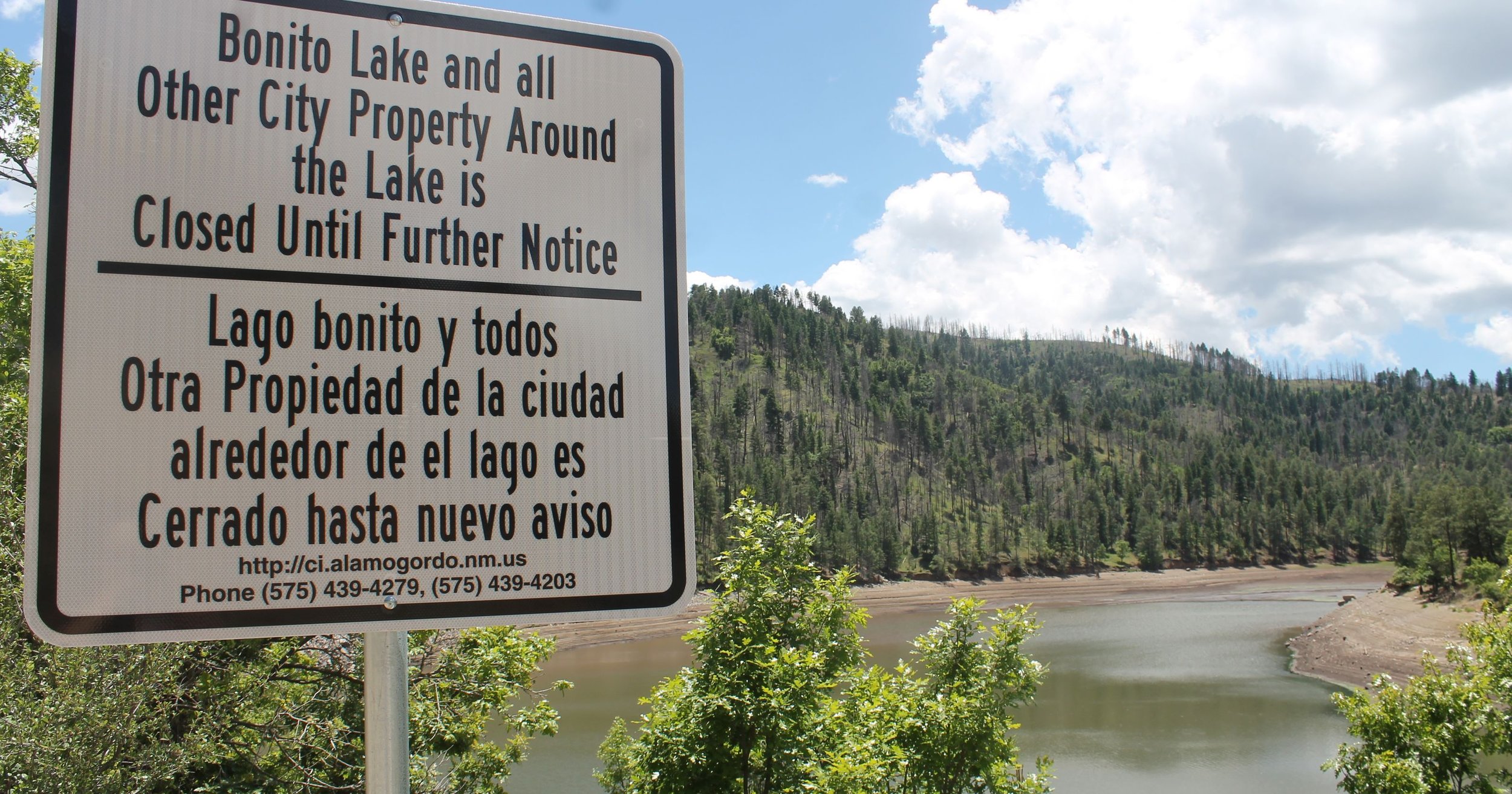
Bonito Lake
While there is no camping or fishing at Bonito Lake due to the Little Bear Fire of 2012, you may still hike, bike and horse ride around the lake. Willie White and Wills Canyon trails continue to be popular choices.
Bonito Lake is owned by the City of Alamogordo. Restoration of lake is projected to be complete in July 2018. The Westlake Campground, Blue Hole/Apple Orchard, and the Lower Pasture are closed until further notice as are campgrounds that are managed by the US Forest Service.
IF YOU GO
The Avenza PDF Mobile Maps app, an interactive Ruidoso trail map, is available both on iPhone & Android.
YOU MIGHT ALSO LIKE…


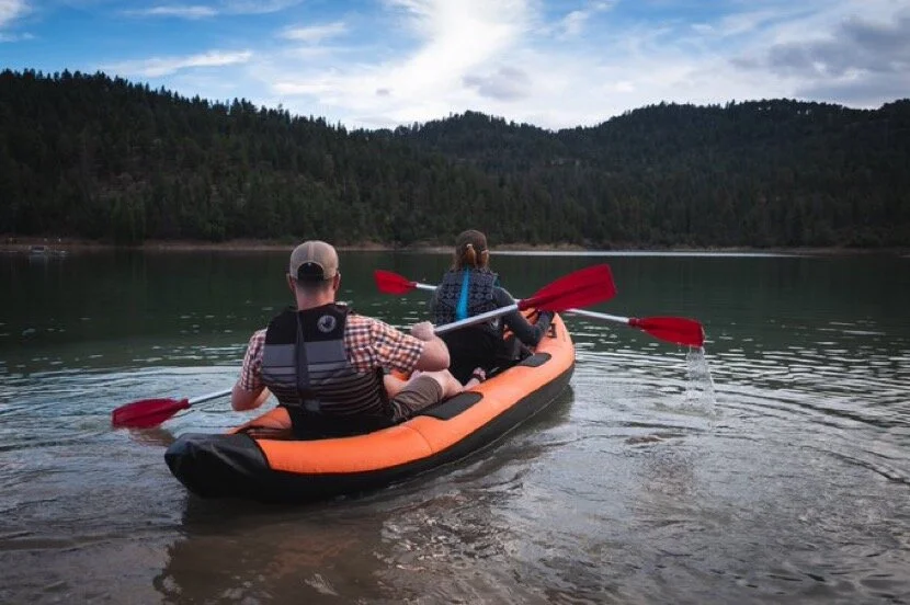


Discover Ruidoso's favorite lakes! Bring a picnic, cast for fish, paddle a boat, cycle, horseback ride, or explore on foot via multi-use trails at Grindstone Lake and Alto Lake recreation areas.