SCENIC DRIVES: Explore Ruidoso’s Roads Less Traveled
In Ruidoso, every road leads to a new kind of beauty. Whether you’re chasing fall colors, mountain sunsets, or wildflower meadows, these scenic drives capture the spirit of the Sierra Blanca Mountains—all within easy reach of the village.


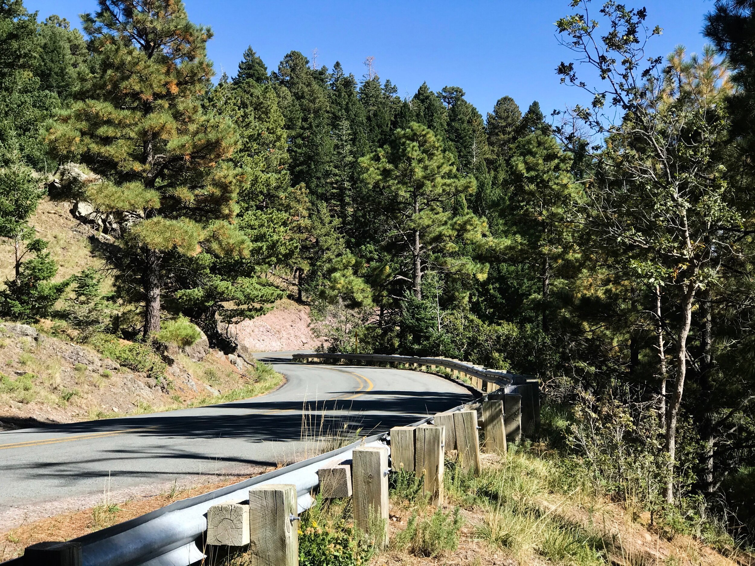
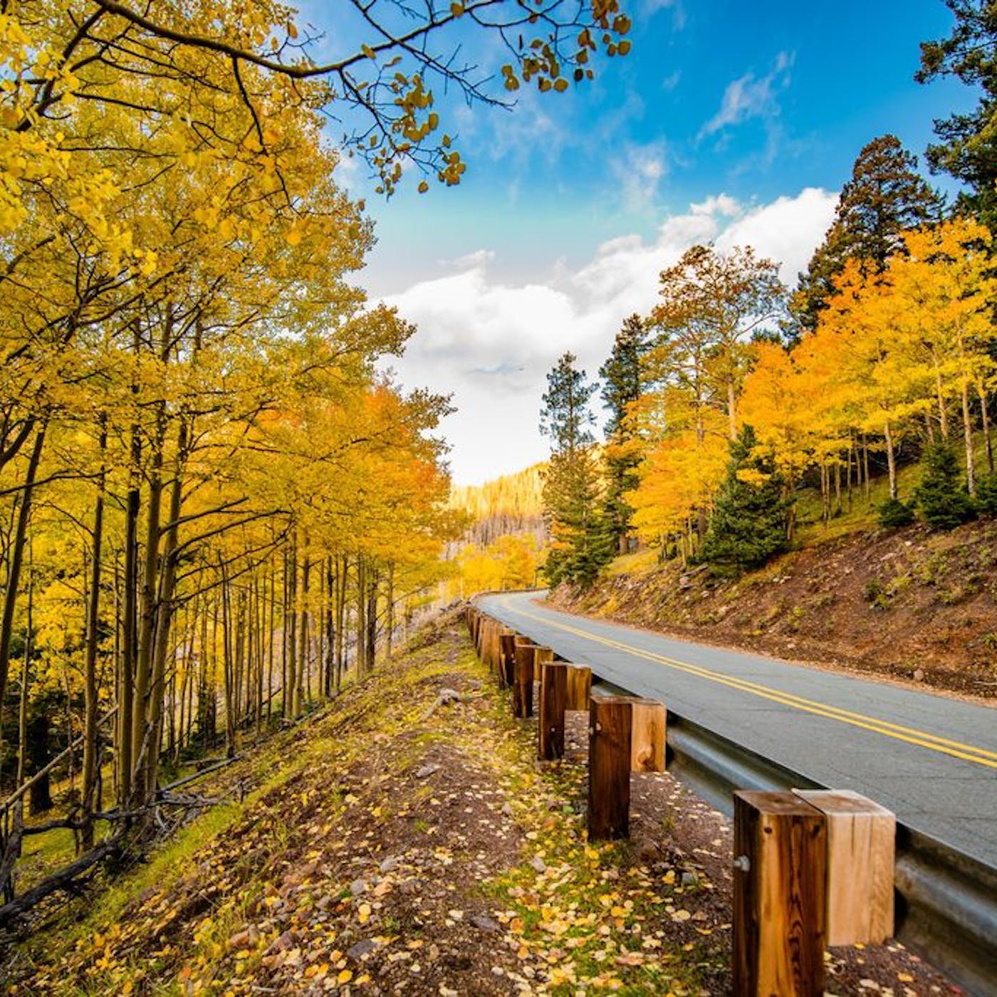

Just minutes from Midtown, turn west onto Ski Run Road (Highway 532) from Mechem Drive and begin your ascent into the high country. This winding 12-mile route climbs to over 9,000 feet and rewards you with panoramic views of the Sacramento Mountains. In summer and fall, it’s a favorite for hikers, cyclists, and leaf peepers; in winter, it leads straight to the slopes at Ski Apache.
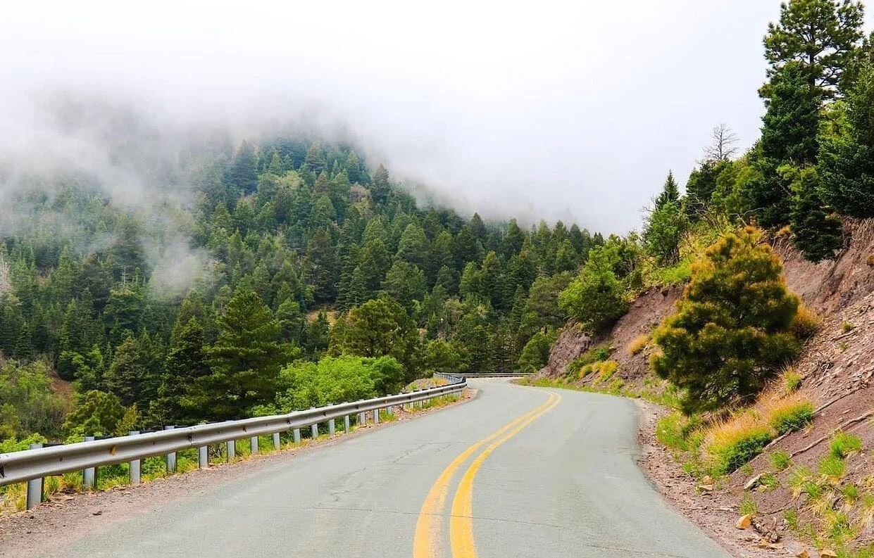
Follow Highway 37 north to reach Bonito Lake—a sparkling alpine reservoir framed by pines and peaks. The drive passes through the Lincoln National Forest, offering quiet pullouts for picnics, photography, and wildlife sightings, including elk and bald eagles.
This legendary loop links Ruidoso, Lincoln, Capitan, and Hondo, tracing the footsteps of outlaws and lawmen through some of New Mexico’s most storied landscapes. Stop in the historic town of Lincoln to walk its preserved 19th-century main street, or detour through Capitan, birthplace of Smokey Bear.
Head north from Ruidoso toward Alto, a mountain community known for its alpine homes and the Spencer Theater for the Performing Arts. Continue along Highway 48 for sweeping views of Sierra Blanca and rolling ranchlands that glow golden in the late-afternoon light.
About 8.5 miles from Alto and 10 miles from Ruidoso, Monjeau Peak rises to 9,641 feet and offers one of the area’s most breathtaking overlooks. At the summit stands the 1930s-era Monjeau Lookout, a stone fire tower listed on the National Register of Historic Places. From Ruidoso, take Ski Run Road (NM 532) in Alto, then turn onto Forest Service Road 117 to reach the top.
For a rustic mountain adventure, take Highway 48 north from Ruidoso and turn left on Highway 37. After about nine miles, turn onto Forest Road 400 and follow it eight miles through the Lincoln National Forest to the trailhead. The first stretch is smooth dirt; the last few miles are rougher but passable in dry weather. The route winds through the Lincoln National Forest with forest and mountain views, scattered camping spots, and trailheads, including the Nogal Canyon Trail. Expect limited cell service—and unlimited tranquility.
Insider Tip: Bring layers, charge your phone, and plan extra time to pull over for photographs—Ruidoso’s mountain roads are as much about the journey as the destination.